


About
Delivering Insightful Decisions Through Data
Randbee Consultants taps into the strength of data and modern technology to deliver enlightening viewpoints. With a foundation in statistical analysis, web visualization techniques, modelling, AI, and capacity development, we stand as pioneers in crafting data-driven solutions.
Read More AboutOur Services
Services offered
Randbee consultants offers a variety of data-related services, from research & innovation, to capacity building and e-learning, thereby providing added value from worldwide open data, even in developing countries where the digital divide is still a reality
Explore Our ServicesShowcases
Some of our projects
- Data Management
- Data Visualization
- Artificial Intelligence
- Data Analysis
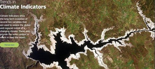
Technical support for the management of the ECMWF' Essential Climate Variables (ECV)
- Data Management
- Data Quality Control

Testimonials
What Our Clients Say


Clients
Discover Clients


Copyright © 2025 Randbee Consultants